Along our coast to coast route through the peninsula, we cross the Pyrenees in Huesca, or Uesca in Aragonese. This is the northernmost of the three provinces of Aragon, so it is the only one which includes land in the Pyrenees.
GPS Track with complete tour of the Pyrenees
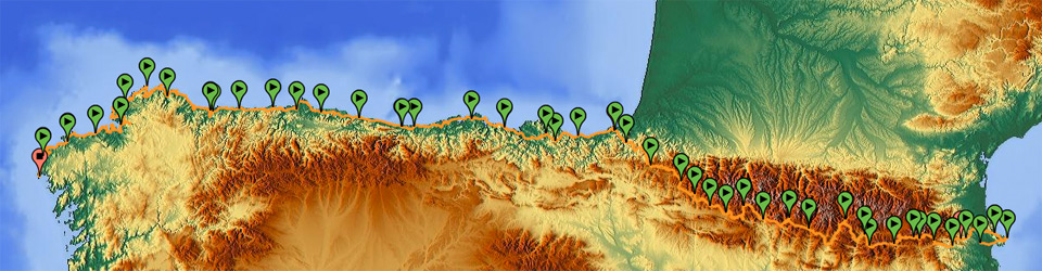
Stages, towns, and accommodation
Although there are not as many campsites in Aragon as in the Catalonian Pyrenees for the same distances, during the entire journey I could rest in authorized camping areas.
Slopes in Aragon are harder than in Catalonia, since this is the beginning of short ascents with steep slopes, and this prepares us for Navarre, where almost all slopes are of this kind. Here, unlike Catalonia, there are generally fewer towns, and therefore, distances between them are longer for one single stage, so we cannot make many diversions when we develop the stages since, if we do so, we will probably find ourselves in the middle of the mountain when the night falls.
As regards administrative divisions, our route crosses six regions of the traditional Aragonese distribution: Ribagorza, connected with Alta Ribagorça in Catalonia; Sobrarbe, which includes Ordesa and Monte Perdido; Alto Gállego; and Jacetania, bordering the Roncal Valley in Navarre.
Weather Conditions
As far as our journey is concerned, the weather in the Aragonese Pyrenees in summer is generally mild and pretty predictable, to the extent that can be predicted in an area of extreme weather conditions. If there is no constant rainfall in this region, in general, we won’t find a lot of mud in forest trails, since the soil is quite dry.
As regards the wind, we have to bear in mind that it will always come mainly from the northwest or north or west, since it will come from France or from the Atlantic Ocean, and it will generally make the trip difficult towards the end of the Pyrenees.
Conditions of the Forest Trails
According to my personal experience, Aragon forest trails are not as well maintained as those in Navarre or Catalonia. Of all the trails I used across the Pyrenees, these were the ones with more rockslides and more frozen snow.
That must have to do with the fact that I crossed this part in a moment when there was more, atypical rainfall than the usual rainfall in early June, there were floods that had not been registered in the last 40 years, and during the previous winter, it had snowed much more than usual, so it must have been pointless to clean the trails before the final melting.
List of stages of the route by the Aragonese Pyrenees