The second-to-last region of our trip is Asturias, another Spanish province that is also a historic autonomous community and has its own language of Latin origin: Bable.
Asturias is around 300 km long, but our route along the northern Iberian Peninsula follows the coast closely, so that, at the end, we will have travelled about 330 km to Galicia from the bridge separating Unquera (Cantabria) from Bustio (Asturias).
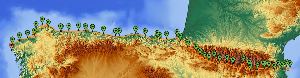
GPS Track with complete tour of Asturias
Migration to America and evidence left by indianos
Asturias has a migration culture, and has seen thousands of people leave towards the five continents, but particularly towards the American continent, during the last two hundred years. Many of the migrants came back to Asturias and left evidence, such as buildings, technological innovation, investments for development, etc. They were called indianos.
Those who aspire to have a more complete view of the Asturian people, avoiding traditional touristic clichés, can find all types of opportunities to know more about the migration and the role of the indianos in 19th and 20th century Asturias. A good way of learning about the history of migrants is visiting the museum called “Archivo de Indianos”, in Colombres, or walking around the coastal towns where a great deal of their inhabitants left and returned to the town, such as Candás or Llanes.
Website of the “Archivo de Indianos” (only in Spanish): http://www.archivodeindianos.es
Climate
As in Cantabria, the climate in Asturias is oceanic and mild, so the temperatures will be stable, and it will never be too cold or too hot, with a maximum temperature of 25 ºC. It is wet and there is often a fine and persistent rain called orbayu. As in Cantabria, since we will not leave the area of coastal influence, we don’t need to make plans for sudden weather changes or extreme conditions in any moment.
Alternatives to the Way of St. James
The route we will follow in Asturias by mountain bike also largely follows the coastline running somehow parallel to the Way, which crosses more inland territory than our route.
The reasons are that, on the one hand, between Gijón/Xixón and Avilés, we will avoid the straight route connecting these cities through areas of urban and commercial interest, but which do not have a great landscape value. On the other hand, we can visit small towns that are very well known to Asturian and Galician people, but which are not visited a lot by the ecotourists coming from the Way. We will be able to visit Luanco, Candás, and the lighthouse of the sea inlet of Avilés, places that are hardly visited by usual tourists or pilgrims.
When we enter the Galician coast, we will have two clearly different options. One option is to follow the proposed itinerary along roads in the section Castropol-Veiga-Ribadeo, that is, the section always travelled along trails or roads to enter Galicia through the coast of Asturias, to avoid crossing the sea inlet in Ribadeo and cross the inter-community border 10 km away from the coast. This is a 22 km long route. The second option is to go to Castropol pier and take a little water-taxi (in the Resources section you will find a contact telephone number), so the total route, including crossing the inlet sea by boat, is 4 km long. I provide a GPS track of the Castropol-Ribadeo pass by sea.
Accommodation
Even with this diversion northwards, with this route you can use the accommodation network of the Way of St. James, which is very complete in Asturias, and if you don’t want to use the public hostels, and if you have a pilgrim credential, you have access to reduced prices in many towns and in different types of establishments: hostels, lodges, hotels, etc.
List of stages of the route by Asturias